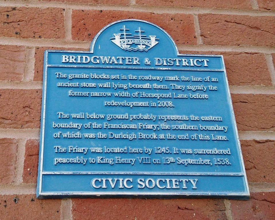
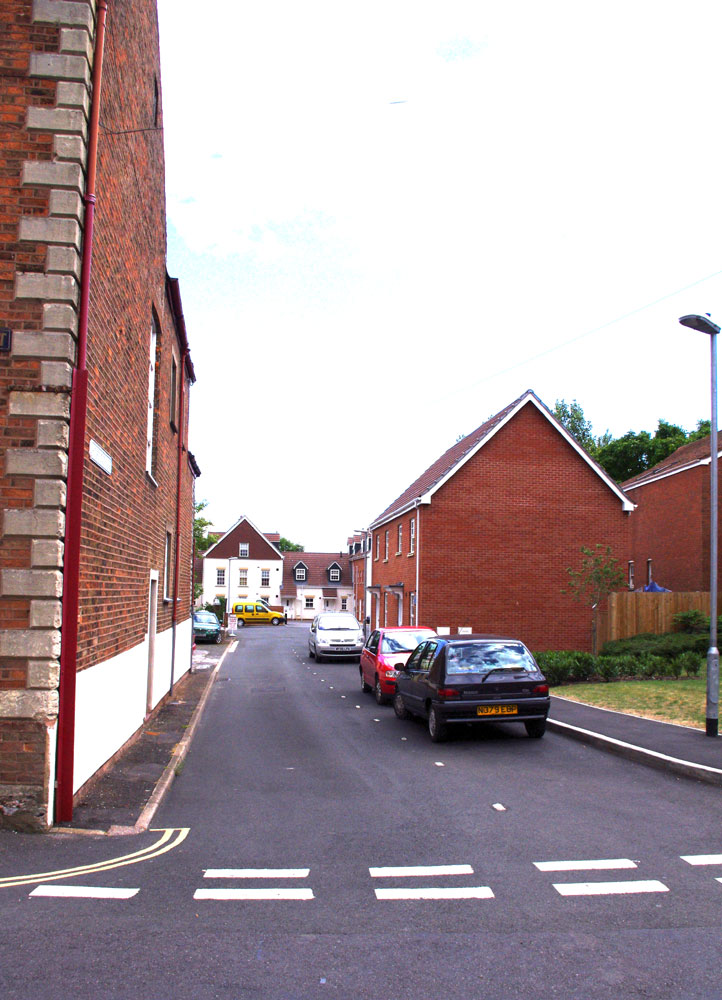
We have two plaques in Horsepond Lane, one for the lane, one for the Friary. This one looks at the lane itself.

This lane once led from Friarn Street to the Durleigh Brook, where there was a pool from which horses could drink. This lane is the first of any street in town to have its name recorded, and it was called the Weyhure, which was a much older name for horsepond (meaning the same thing). On the west of the lane was the boundary of the Medieval Friary. At the bottom of the lane in later centuries was the town’s tannery.
For more on Bridgwater’s street names, see Bridgwater Heritage Street Names Project.
The building upon which the plaque is placed is mid eighteenth century with some nineteenth century additions.

The second plaque further down the lane records the widening of the old lane in 2008, and the discovery of the probable boundary wall of the medieval friary. This housing development in the old lane was built over the town’s old tannery, where animal skins were turned into leather. Excavations revealed the tanning pits.


